
- Millennium Walk

Walk No 5 is a 5 mile walk that takes an easterly route up to Langdon Farm Road, where there are clear views to the west of Lewesdon Hill and Pilsdon Pen (the highest points in Dorset) . Further along the track, which also forms part of the Wessex Ridgeway, there are spectacular views of the cliffs and sea at West Bay, with Beaminster in the foreground. From Mintern’s Hill you can see west as far as the Blackdown Hills, northwest to the Quantocks, and north to Ham Hill, the Mendips and, on a very clear day, the Brecon Beacons. The walk descends into Beaminster by the Buckham Down picnic area.
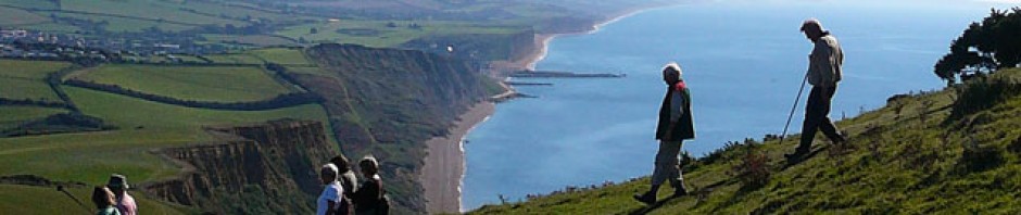
Walk No 5 is shown on the map below in blue – ![]() .
.
The map can be enlarged by left clicking on it.


WALK No. 5 – Total 5 miles Square to Perimeter – 2 miles
Leave Beaminster Square towards Bridport. Turn left into Whitcombe Road, left again into East Street and Hollymoor Lane. Follow road to bench at top of rise. Stay on road round a sharp left hand bend. Pass Lower Langdon Farm on left, later Langdon Farm house on the right, and the cottages on the left, with farm buildings beyond. Follow the roadway bearing right. Continue uphill to where road bears right, in sight of trees and elevated tank. Turn left through gate and walk diagonally right to gate beside signpost and turn left.
Perimeter Section – 1½ miles
Walk along track and pass through gate. Go through another gate by signpost and continue on track to road. Cross over and pass through gate opposite. Continue ahead, keeping hedge to left. Through gate to road, turn left and continue to Buckham Down sign on left.
Return to Beaminster – 1½ miles
Take bridleway on left downhill. On reaching asphalt road, continue downhill and ahead via Newtown into the Square.
